Karwar is a seaside city on the west coast of the Indian peninsula. To the east are the Western Ghats. Karwar is situated on the banks of the Kali river (Kali nadi) which flows west to the Arabian sea from its headwaters at Bidi village in the Western Ghats. The Kali river has a length of about 153 km and is the main source of irrigation in the region. Karwar is 15 kilometres (9.3 mi) south of the Karnataka – Goa border, 65 kilometres (40 mi)South of Margao , 519 kilometres (322 mi) north-west of Bangalore, the capital city of Karnataka, and 272 kilometres (169 mi) north of Karnataka’s chief port city Mangalore.
Baitkhol port at Karwar is a natural harbour with land side hills and ocean side islands protecting it from cyclonic weather. The four fathom mark lies close to the shore.
Several small mangrove covered islands lie off the Kali river estuary including Anjadip Island and Devagadaguda Islands. The sub-tidal regions of the islands have a high biodiversity, although the waters off Karwar have recorded higher than normal faecal coliform counts
The total population in Karwar is 157,739 as of 2014 by Indian Government. As of 2014, Karwar had an average literacy rate of 89%, higher than the national average of 74%: male literacy was 94%, and female literacy was 84.85%.[2] In Karwar, 10% of the population were children under 6 years of age.
Konkan railway
Karwar railway station
The Konkan Railway connects Karwar to most major towns and cities. Karwar has three railway stations: Karwar, Asnoti and Harwada. The nearest Goan station is Canacona, 36 km away. Madgaon Junction lies 68 km to the north.[25] and Mangalore Junction 253 km to the south.
Port
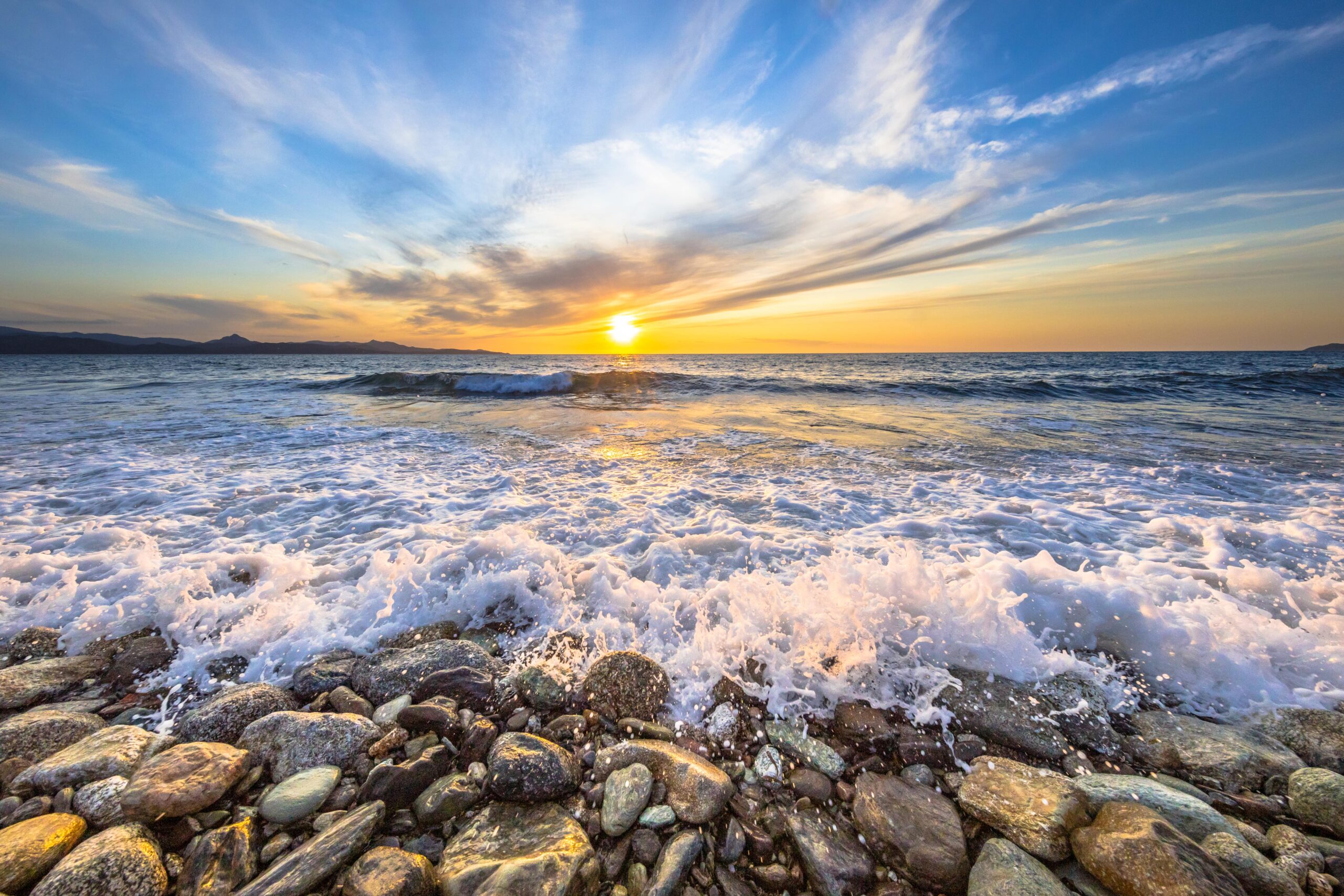
Karwar beach looking towards Madlimgadh and Kurumgad Islands
Karwar port is located at Baithkol, Karwar Bay. Hills and coastal islands make the port a natural harbour, sheltered from the Arabian sea. The port which is operated by the Government of Karnataka, services the hinterland of northern Karnataka, Goa and southern Maharashtra.
The length of the port is 355 metres (388 yd). The quay has two berths, with a draft capacity of 9.25 metres (30.3 ft). Karwar port also berths coastal vessels and there is a jetty for fishing vessels.[26] The Government of Karnataka has planned to develop Karwar port on a Public Private Partnership (PPP) basis to provide six additional berths, a container terminal, and a rail link to Shirwad railway station.
The port is able to handle all types of commodities, including “B” and “C” class petroleum products. There port has liquid storage tanks for bitumen, furnace oil, molasses, and HSD. A ban of iron ore mining and export in Karnataka state reduced congestion at the port. The port has arrangements for berthing coastal vessels, and a jetty for fishing boats.
In 2012 the Government of Karnataka carried out maintenance dredging in the port, the approach channel and the nearby anchorage. The port may be closed from 16 May to 15 September (the monsoon season).[26] Part of the 2008 Hindi film Golmaal Returns was filmed at Karwar port.

Comments are closed.